Logan City Council Shed Planning Guide
Logan City Council has the most zone-detailed shed-building rules in South East Queensland — 10 distinct precincts and zones, each with its own combination of height, floor area, site cover and setbacks. The right rules for your shed depend on which precinct your block sits in, plus the lot size if your combined outbuildings exceed 150m². The summary below covers every zone, plus the six overlays that commonly affect a Logan build.
The council covers Springwood, Beenleigh, Marsden, Browns Plains, Daisy Hill, Loganholme, Underwood, Logan Central, Crestmead, Carbrook, Park Ridge, Cornubia and many more. The rules below apply across the whole council area.
If you build with Stockman, every council application, BWAP referral and overlay check is handled by our team. We’ve put this guide together for the times you do want to know what’s going on under the hood. (Worth noting: a registered building envelope on your lot does not override Logan’s planning scheme setbacks unless specifically stated in the development approval.)
What is a Class 10a structure?
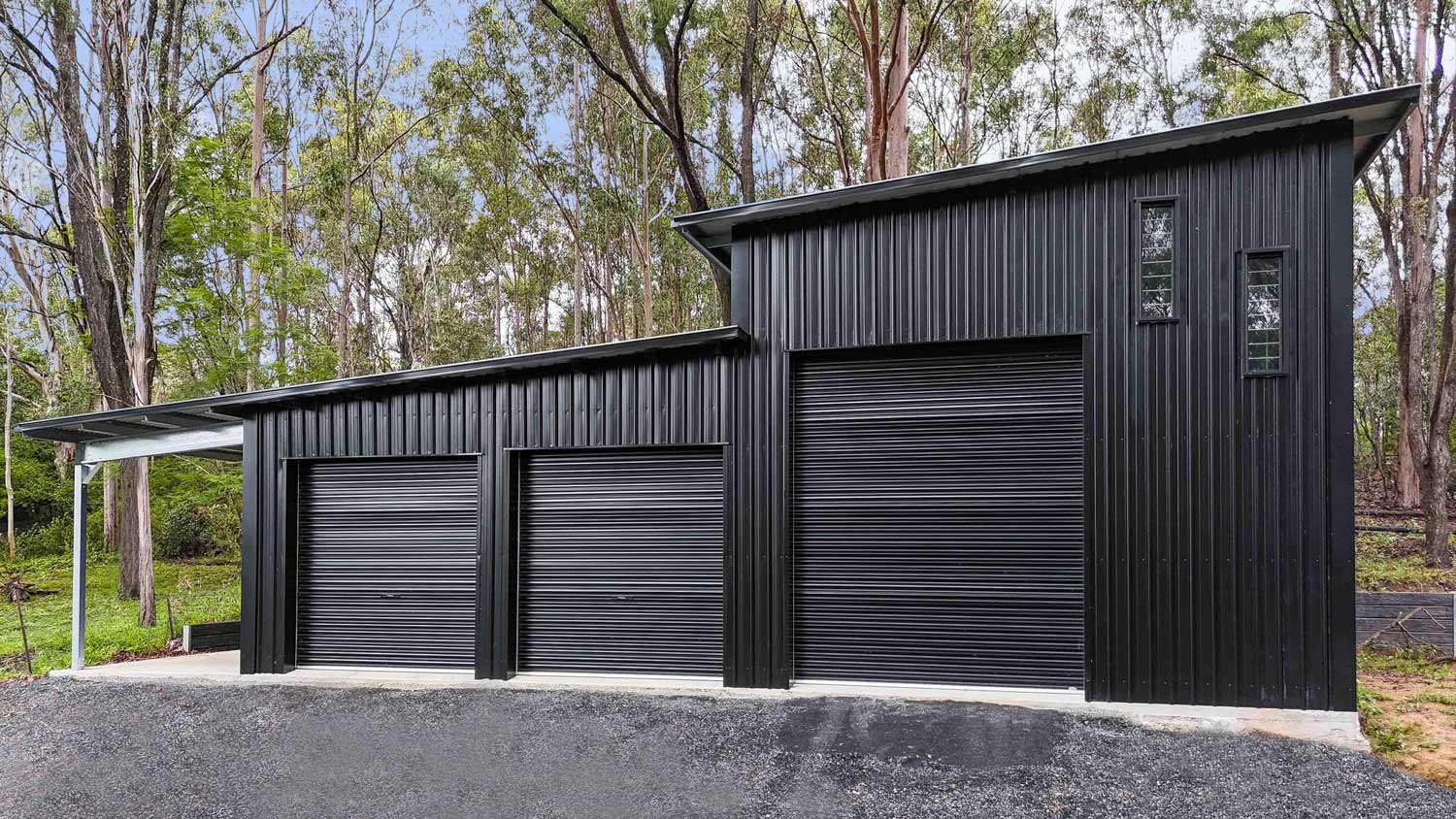
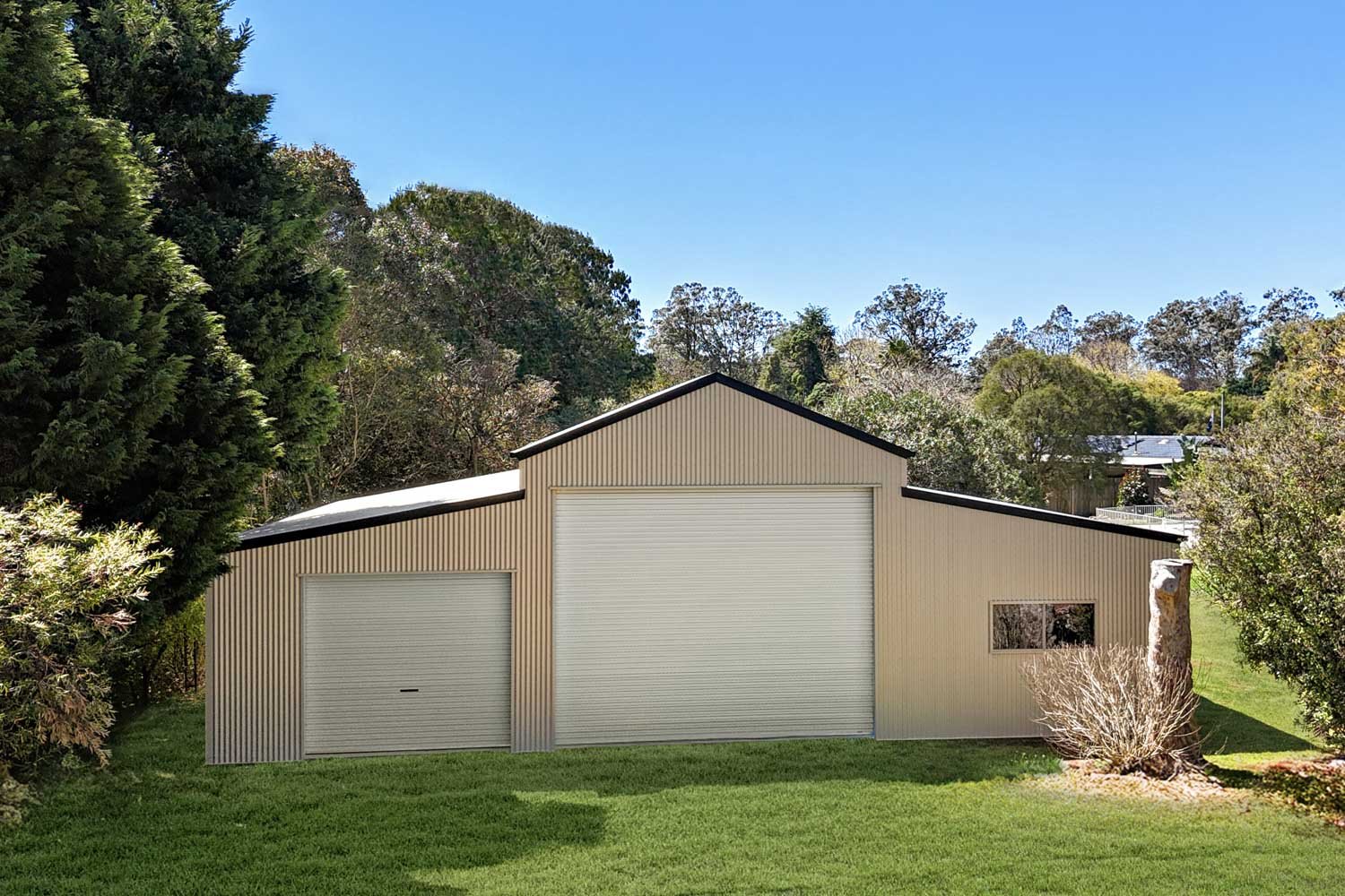
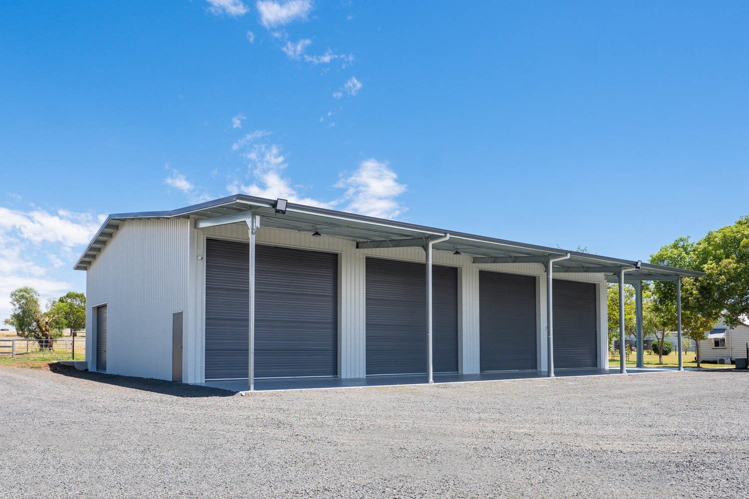
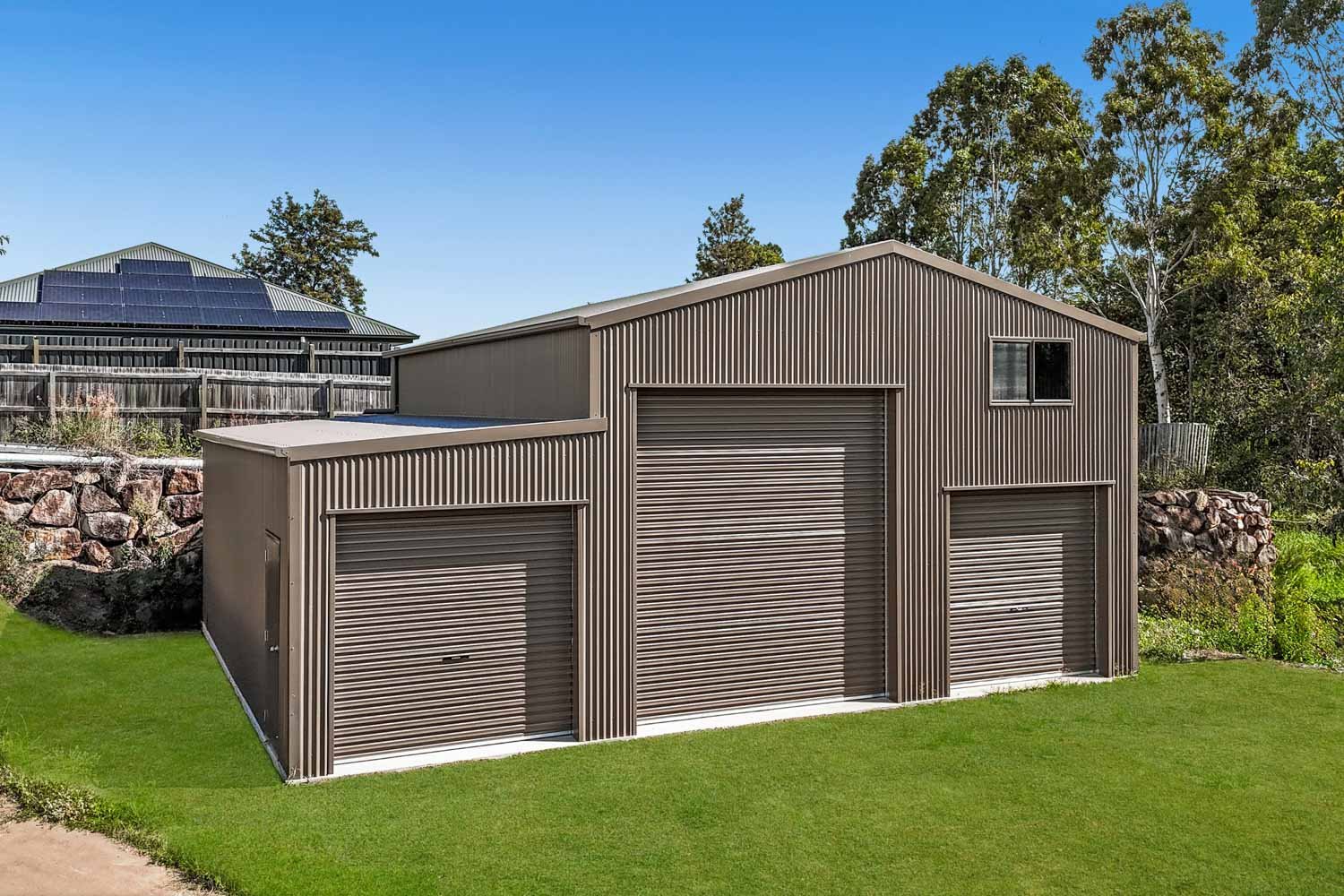
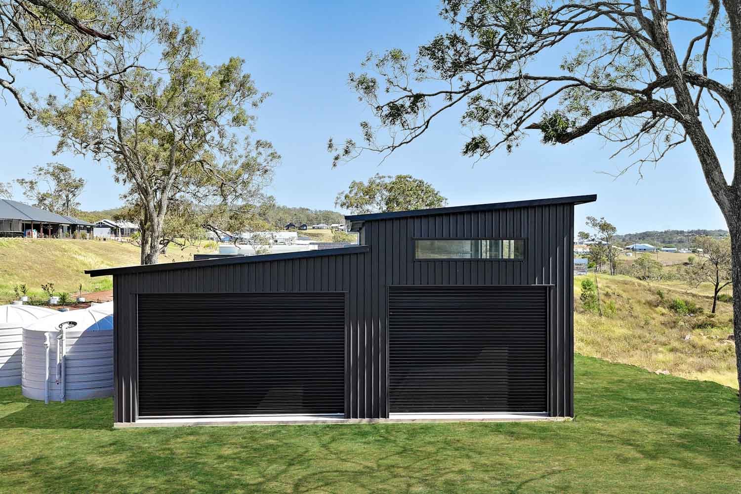
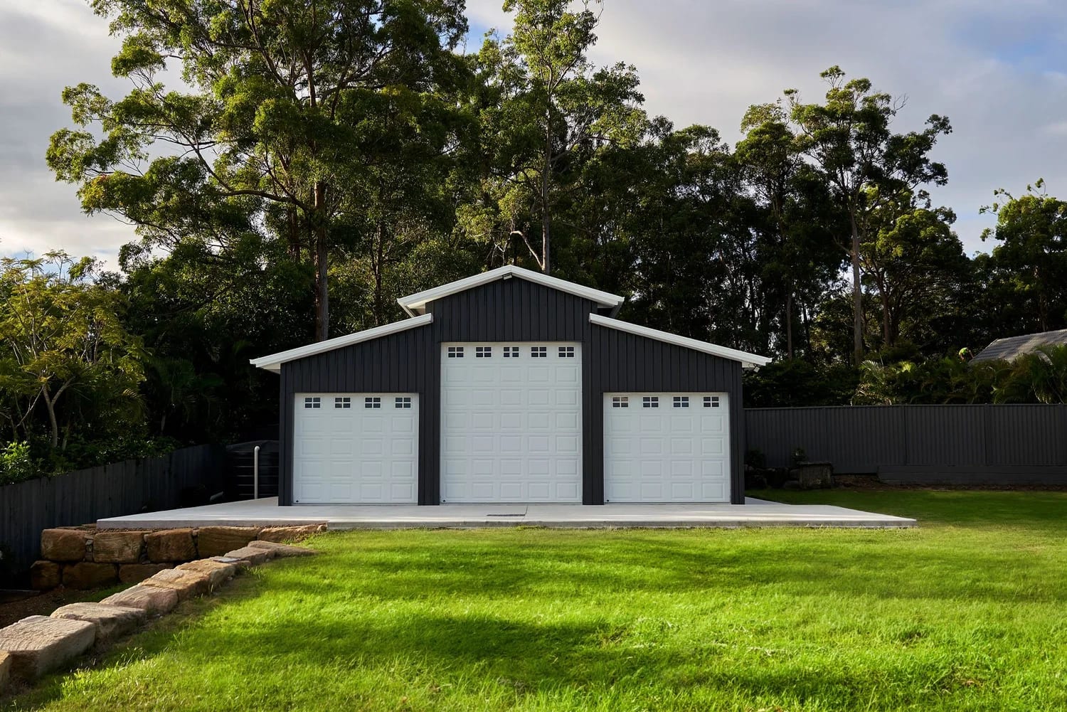
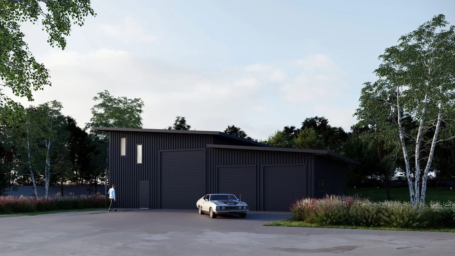
A shed in Queensland is a Class 10a structure — non-habitable buildings including detached garages, carports, and storage sheds. Class 10a buildings are governed separately from your dwelling (Class 1) under the Building Code of Australia, which is why councils set out specific shed rules independent of your house build. Every rule on this page applies to Class 10a buildings on residential and rural lots in the Logan City Council area.
Do you need council approval?
Approval is required for any shed that:
- Has a floor area larger than 10m²
- Is taller than 2.4m (or has a mean height above 2.1m)
- Is longer than 5 metres on any side
- Is attached to another building
Most Logan shed builds tick at least one of those boxes. Smaller garden sheds are usually exempt. Stockman lodges and manages approval for every shed we build in the Logan region.
The carport-to-boundary exception
Across every Logan zone below, a carport can be built to the property boundary if all three of the following apply:
- Dimensions no larger than 6m × 6m
- Maximum height of 3.5 metres
- Remains unenclosed (no doors)
If any of those limits are exceeded, the standard road setback for the zone applies (per the table below).
Residential zones
Logan splits residential land into several precincts inside the Low Density Residential and Rural Residential zones. Side and rear setbacks for outbuildings with combined floor area over 150m² follow Table 9.3.1.3.3 (further down).
| Zone / Precinct | Max height | Max floor area | Site cover | Front setback (non-carport) | Side / rear |
|---|---|---|---|---|---|
| Low Density Residential — Small Lot | 8.5m | Not specified | 60% | 4m | QDC |
| Low Density Residential — Large Suburban | 8.5m | Not specified | 40% | 6m | QDC |
| Low Density Residential — Suburban | 8.5m | Not specified | 50% | QDC | QDC |
| Low Density Residential — Small Acreage | 8.5m | 300m² | 35% | 10m | 3m (Table 9.3.1.3.3 if combined > 150m²) |
| Low Density Residential — Acreage | 8.5m | 300m² | 20% | 10m | 3m (Table 9.3.1.3.3 if combined > 150m²) |
| Rural Residential — Park Living / Park Residential | 8.5m | 300m² | 20% or 700m² (whichever is greater) | 10m | 3m (Table 9.3.1.3.3 if combined > 150m²) |
| Rural Residential — Carbrook / Cottage Rural | 8.5m | 300m² | 10% or 700m² (whichever is greater) | 20m | 3m (Table 9.3.1.3.3 if combined > 150m²) |
| Emerging Community | 8.5m | 300m² | 10% or 700m² (whichever is greater) | 10m | 3m (Table 9.3.1.3.3 if combined > 150m²) |
QDC = Queensland Development Code (1.5m / 2m / +0.5m per 3m above 7.5m formula).
Rural zones
| Zone | Max height | Max floor area | Site cover | Front setback (non-carport) | Side / rear |
|---|---|---|---|---|---|
| Environmental Management and Conservation | 12m | 300m² | 10% or 700m² (whichever is greater) | 20m | 10m (Table 9.3.1.3.3 if combined > 150m²) |
| Rural Zone | 12m | 300m² | 10% or 700m² (whichever is greater) | 20m | 10m (Table 9.3.1.3.3 if combined > 150m²) |
Table 9.3.1.3.3 — outbuildings 150–300m²
When the combined floor area of all proposed and existing outbuildings (sheds + detached garages) on the lot is between 150m² and 300m², the side and rear boundary clearance is set by zone:
| Zone | Minimum side and rear boundary clearance |
|---|---|
| Emerging Community Zone | 6m |
| Environmental Management and Conservation Zone | 20m |
| Low Density Residential Zone — Acreage Precinct | 6m |
| Low Density Residential Zone — Small Acreage Precinct | 6m |
| Rural Residential Zone | 6m |
| Rural Zone | 20m |
Overlays
An overlay identifies land that is sensitive to development, subject to constraints, contains valuable resources, or presents opportunities for development. Logan has six overlays that commonly trigger additional council referrals — most of them via a Building Works Assessable Against the Planning Scheme (BWAP) application.
Biodiversity
- If located within a primary or secondary vegetation management area, no clearing of land. A BWAP referral is required if you intend to clear vegetation.
- If your shed is located within a biodiversity corridor or within the 50-metre buffer of a locally significant Melaleuca irbyana (swamp paperbark) tree, a BWAP council application is required.
Bushfire
- For dwellings built before 2009, no shed bushfire protection is required, but maintain at least 900mm fire separation from the boundary or dwelling.
- For dwellings built after 2009, the shed must sit at least 6 metres from the dwelling, or be built to the same Bushfire Attack Level (BAL) rating as the house.
Flood
- Minimum floor levels within flood overlays don’t apply to non-habitable structures (sheds qualify).
- Earthworks must not increase flooding to other premises. A BWAP referral may be required — Stockman checks per-site.
Landslide hazard and steep land
- Building work within the Landslide Hazard Overlay requires a site-specific geotechnical (slope-stability) report confirming low landslip risk.
- Cut and fill must not exceed 40m³. Above that threshold, a BWAP referral is required alongside the geotechnical report.
Regional Infrastructure Corridor
Building work within Regional Infrastructure corridors and buffers requires a BWAP council application.
Waterway Corridors and Wetlands
Building work within Waterway corridors and wetlands overlay mapping requires a BWAP council application. Always confirm Fire Separation requirements per the Queensland Fire Separation reference.
Official resources
- Logan PD Hub interactive map — zoning, overlays, planning controls per address
- Logan Planning Scheme 2015 rules viewer — code-by-code rules
- City of Logan residential projects page — official council guidance covering Class 10a domestic outbuildings
- Queensland Urban Utilities services map — water and sewer locations
- Queensland Development Code (MP1.2) — full setback formula
- Queensland Fire Separation reference — BCA 3.7.2.5 detail
Other South East Queensland councils
Logan sits between several other major SEQ councils. If your build is near the boundary or you’re comparing rules:
- Brisbane City Council shed requirements
- Gold Coast City Council shed building rules
- Ipswich City Council shed requirements
- Scenic Rim Regional Council shed planning
Or browse all 10 council guides on our shed planning guide hub.
Last reviewed April 2026. Council planning schemes change — always confirm specifics with Logan City Council or your building certifier before lodging.